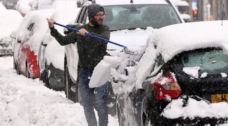
Britain’s big freeze finally laid bare as ‘disruptive snow’ is coming
Weather: Met office forecasts colder air for the week ahead
We use your sign-up to provide content in ways you’ve consented to and to improve our understanding of you. This may include adverts from us and 3rd parties based on our understanding. You can unsubscribe at any time. More info
Britain is bracing for an extremely cold period which could see temperatures dip to -10C. Forecasters had held back on predicting a chilly and snowy start to March, but now weather models are finally revealing an outcome – and it’s what many will be dreading.
Jim Dale, senior meteorologist for British Weather Services, told Express.co.uk this morning: “It’s trying its best to go that way, with Europe first and then the UK.
“It is becoming more likely that freeze and fairly widespread snow is on the cards, but we are still having to be very patient.
“In the longer run the Beast from the East may arrive but it’s looking like the Troll from Trondheim first, affecting the north first – then waiting on whether the Beast makes a move.”
Early March has been a period of interest for forecasters as it’s the time when the delayed effect of sudden stratospheric warming shows its true colours.


Sudden stratospheric warming took place in mid-February close to Scandinavia – a weather event which is typical of this time of year. It can have extreme effects on Britain, but it can also have no impact.
An example of this is in 2018, when it was blamed for kick-starting the Beast from the East in February. But the following year, the same weather event happened. This time there was little to no impact on the nation’s mercury.
It can take around a fortnight to three weeks to see what the outcome is – and this week the real impacts are starting to show on various models which have been closely analysed by meteorologists and independent forecasters.
Maps today show temperatures could tumble down to -10C during this latest cold snap, with snow reaching nearly every corner of Britain.


As Mr Dale predicts, a wall of snow will push across Scotland and northern England overnight between Sunday, March 5 to Monday, March 6. Up to 10cm of snow may be seen on lower ground in Scotland, and up to 2cm in areas between Newcastle and Manchester.
But it is overnight between March 6 and 7 where much of the country will see wintry showers. Around 6cm could fall in the vicinity of Manchester, whereas the Midlands and the south east corner of England – including London – could see a mere dusting.
By the middle of that week, most parts of England, Scotland, Wales and Northern Ireland will have seen some snow – but the amounts will differ. Typically, the south east, at the moment, looks to get the least.
The mercury in northern England will plunge to -7C during this time, with the south east straddling 0C during daylight hours. Wales will see temperatures vary between -3C and -6C.
The Met Office long-range forecast from Monday, February 27 to March 6 adds: “On Monday, a mostly dry day although northern and eastern areas may see the occasional light rain.
“Breezy conditions likely across the south. Continuing through the week, high pressure is expected to dominate creating rather cloudy but dry conditions for most. For the rest of the period, a continuation of similar settled conditions is likely.
“Light winds in the north, increasing towards the south, with a risk of gales at exposed coasts. Towards the end of the period, there is an increasing likelihood of colder conditions, with a chance of snow showers in many eastern and northern areas.
“Temperatures to start likely around average, most likely becoming below average towards the end of the period.”
Source: Read Full Article


