Cold weather maps show exactly how long UK’s -6C freeze will last
Weather: Met Office issues yellow warnings for snow and ice
We use your sign-up to provide content in ways you’ve consented to and to improve our understanding of you. This may include adverts from us and 3rd parties based on our understanding. You can unsubscribe at any time. More info
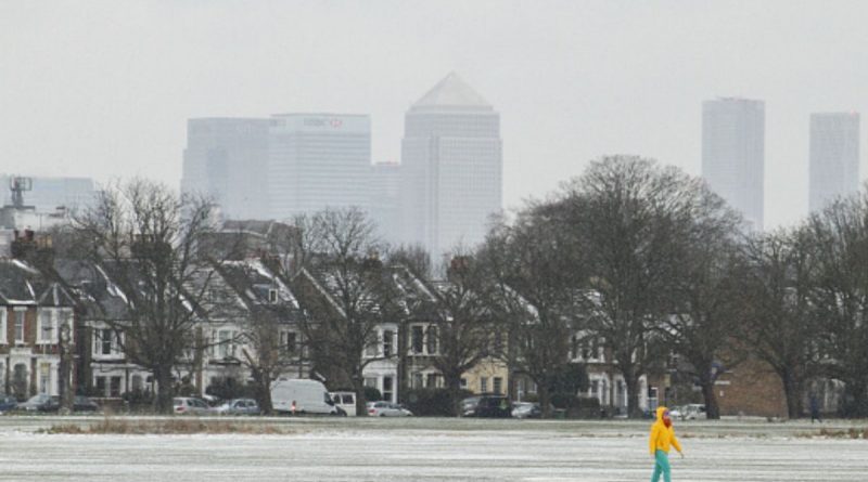
An Arctic freeze has reached Britain and will cause icy and hazardous conditions for many throughout this week. Many regions have already received a dusting of snow with more on the radar this evening, covering much of Scotland and northern England. The Met Office has issued snow and ice warnings for vast swathes of the UK, including a rare amber warning, and has also issued a Level 3 health alert – which means the plunging temperatures could cause detrimental effects to vulnerable members of society.

Senior forecaster for NetWeather, Jo Farrow, said in her blog: “Two low pressures, which will move just to the south of Britain in the next few days, have been named by France and Spain. With a colder flow from the north, any UK precipitation linked to these could include snow.
“The UK is already feeling colder with ice since Sunday morning. Northern Scotland has a long-running yellow warning for snow and ice from Sunday afternoon through until Wednesday. And the snow showers look to continue through midweek as the cold air holds on into Thursday.”
Drivers have been told not to travel unless essential as many areas see lows of -5C overnight, leaving roads icy and treacherous – although this is set to reach as low as -11C in some parts of the country later this week.
Speaking about the snow impacts this week, Ms Farrow added: “Other parts of the UK are less likely to see snowfall but as the cold air deepens, or by night, any rain could turn to sleet or wet snow, and even settle over the hills further south.


“If this happens say for south east of England during the Monday morning rush, or early on Tuesday for southern Britain, there will be impacts on the roads with an icy slush on the pavements.”
Up until 10am this morning, the Met Office predicts part of Cornwall could be the latest areas to get wintry showers today. The forecaster said: “Rain turning to snow over parts of Cornwall leading to some accumulations of snow and then ice forming as skies clear later in the night.”
A wider yellow weather warning for ice has been put out across the entire southern coast of England, with the Met Office adding: “Following the recent very wet weather, sub-zero temperatures overnight will mean that any water seeping onto roads will continue to freeze, leading to icy stretches, particularly, but not exclusively on untreated surfaces.”
In terms of how long these sporadic showers will last, Jim Dale, a senior meteorologist at British Weather Services said the impacts would last until at least Friday.


He told Express.co.uk: “There will be more engrained and widespread ice tonight and onwards to Friday. Sporadic snow showers also for parts of Wales, north Wales & south west England over the next 72 hours though nothing over the top.
“Sporadic snow showers here or there with Northern Scotland retaining the lion’s share. Ice being the more universal hazard.”
The Met Office long-range forecast, updated daily, sheds some light on when this cold snap will cease – but in its place will be a return of wet and windy conditions experienced at the start of the month.
From January 21 to 30 it says: “Over the weekend, a northwest-southeast split is likely to bring cloud and outbreaks of rain across western parts, while the southeast remains dry and bright with light winds.
“The strongest winds are likely to be felt across the northwest, where wintry conditions are possible. Temperatures near normal in the northwest, but rather cold or cold in the southeast.”
Towards the end of the month temperatures will remain cold for some. It continues: “Into the end of January, changeable conditions are likely to persist with the most unsettled conditions in the north and west with a combination of strong winds and rain or showers at times.
“Meanwhile, southern and eastern parts are expected to remain drier and more settled, although occasional rain is possible. Temperatures expected to be around average in the north and west, perhaps slightly below average in the south and east.”
Source: Read Full Article