Denver weather: Here’s when, where and how much snow to expect from our latest March storm – The Denver Post
A wet spring storm is on track to deliver a good drink of water to our area with some appreciable snow totals as well.
Let’s take a look at the timing and what totals to expect.

First off, winter weather advisories or storm warnings are in place across the entire Denver metro and the surrounding area. This is mainly because a really tough Thursday morning commute is expected.

We are still expecting a warmer storm to move through Colorado Wednesday into Thursday. Again, the biggest holdup with this forecast has been when will the rain change over to snow? While that question is mostly answered, the difference of two hours will make for big differences in snow totals.
Timing
Snow has already begun in the northern mountains Wednesday morning. We will see rain showers develop in the foothills from Red Feather Lakes to Boulder to Castle Rock between 1 and 3 p.m. Scattered rain showers develop for Fort Collins to Denver between 2 and 5 p.m.
Elevations above 7,500 feet will see all snow from this system while areas below that will see the transition to snow through Wednesday evening. Moderate, widespread rain is looking likely from 3 to 8 p.m. along the urban corridor. Snow levels will drop to 6,000 feet between 5 and 7 p.m. and then to 5,000 feet between 6 and 9 p.m. That means Denver will see a switch over to heavy snow sometime around 8 or 9 p.m.
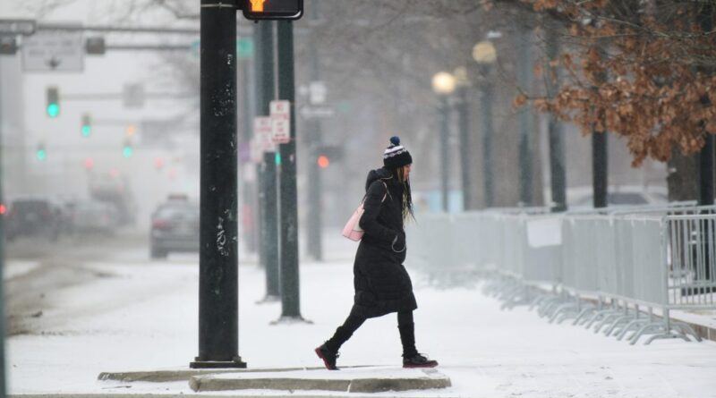
Once the rain switches to snow, we will quickly begin to see impacts to roads. The snow that will fall from this storm will come down fast and hard. Expect really big flakes to form during this event which will be extremely heavy to move so take your time when you’re out shoveling.
Snow will continue heavily overnight across the area. Thursday morning will be an extremely difficult commute. Light to moderate snow will continue Thursday morning but will be tapering off from north to south. A few snow showers can be expected into the afternoon on Thursday but for the most part, this storm will wind down later Thursday morning.
Snow totals
The million-dollar question: How much snow is going to fall at your house? Here’s what we’re thinking.

The foothills of Boulder and Jefferson counties, as well as Douglas County and the foothills west of Colorado Springs, will see the most snow from this storm. The trend for this storm has been for it to come in a little bit stronger and to last a little bit longer so these totals are subject to change.
Downtown Denver: 4-8 inches
Denver International Airport: 2-6 inches
Arvada: 5-9 inches
Aurora: 4-7 inches
Broomfield: 4-8 inches
Centennial: 4-8 inches
Golden: 7-11 inches
Littleton: 4-8 inches
Parker: 4-8 inches
Boulder: 6-10 inches
Eldora: 10-15 inches
Georgetown: 6-10 inches
Idaho Springs: 7-11 inches
Breckenridge: 3-6 inches
Evergreen: 10-15 inches
Conifer: 12-18 inches
Castle Rock: 8-12 inches
Monument: 8-12 inches
Fort Collins: 1-3 inches
Estes Park: 4-8 inches
Loveland: 1-3 inches
Winter Park: 8-12 inches
Grand Lake: 3-6 inches
Colorado Springs: 4-6 inches
Durango: <1 inch
Glenwood Springs: <1 inch
Grand Junction: <1 inch
Pueblo: 1-2 inches
This storm will be mostly focused on the Front Range of Colorado so west of the divide, snow totals go way down. Again, if this storm comes in a bit stronger, these totals may go up. Prepare for heavy, wet snow and big impacts Thursday morning.
Looking further out, another snowstorm is looking probable early next week that could deliver another round of heavy snow to the area. Details have yet to be worked out but we will have to watch that storm closely as it has the potential to produce some big totals again.
Andy Stein is a freelance meteorologist.
Source: Read Full Article