Denver weather: Multi-day snowstorm to hit this weekend
Most of the snow Denver had on the ground melted after a week of highs in the 70s. But there will be more snow on our streets very soon as multiple low-pressure systems will bring several rounds of snow through the area over the weekend. Friday will still be a pleasant end to the week.
According to the National Weather Service in Boulder, Denver will hit a high of 68 degrees on Friday with winds gusting up to 18 mph. There’s a 30% chance of rain after 5 p.m., which builds to 80% overnight, as temperatures fall to 34 degrees.

Early morning fog on the northeast plains will burn out by 10 a.m. on Friday. The afternoon will bring critical fire conditions to the southeast plains and Palmer Divide. There is a Red Flag Warning for portions of the state throughout the day.
Snowfall has already begun on Friday morning for the southwest part of the state. The storm will work its way over the high country in the afternoon, increasing in intensity overnight. The NWS expects travel to be impacted from the storm, issuing a Winter Weather Advisory for the Front Range and Park and Gore Ranges from 5 p.m. on Friday through Monday morning.
The storm will start with rain at lower elevations, possibly bringing thunder to the region. The rain will turn into snow, beginning in the middle of the night.
Forecasters say Denver will only reach 38 degrees on Saturday. Snow is likely after 8 a.m. as winds increase over 20 mph. Less than one inch of accumulating snow is expected. But snow will pick up again late at night as temperatures fall to 21 degrees.
Sunday could be the snowiest day, as highs won’t break freezing.
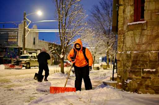
By the time the snow is done on Monday, meteorologists predict snowfall totals between 10 and 20 inches in the mountains and about six inches downtown. Hazardous travel conditions are possible for much of the weekend, with the worst coming Saturday morning through Sunday afternoon.
Temperatures will not just warm back into the 70s next week. Instead, an arctic airmass could arrive next Thursday, dropping temperatures to near zero.
Source: Read Full Article